Fire Management
History Of Fire in the Malpai Region
Fire has played a natural role in maintaining the health of the native vegetation of the Malpai region for millenia. The best evidence for the history of fire comes from fire scars in the rings of ponderosa pine trees. Researchers at the University of Arizona Tree Ring Laboratory have collected fire history data from trees across the Southwest, from Sonora, Mexico, to southern Colorado, including mountains in the Malpai area. All of these trees tell the same story: fire burned across this country routinely every five to ten years, with only occasional spans greater than fifteen years with no fire. In fact, during a dry year following wet years, which can also be determined from tree rings, extensive fires burned in virtually every mountain range across the Southwest simultaneously. Evidence for the pervasive historic influence of fire is also found in the sediments of boggy cienega wetlands in the valley bottoms, where charcoal fragments preserved for thousands of years support the conclusion that fires burned frequently across the valleys from one mountain range to another….
MBG Fire History GIS MAP & Dashboard
To learn more about the history of fire in the Malpai Borderlands Group area, check out our interactive GIS dashboard that includes timelines, statistics and maps.
Also read some highlights from past fires in the Malpai Region in the articles listed below!
THE GUADALUPE WILDFIRE
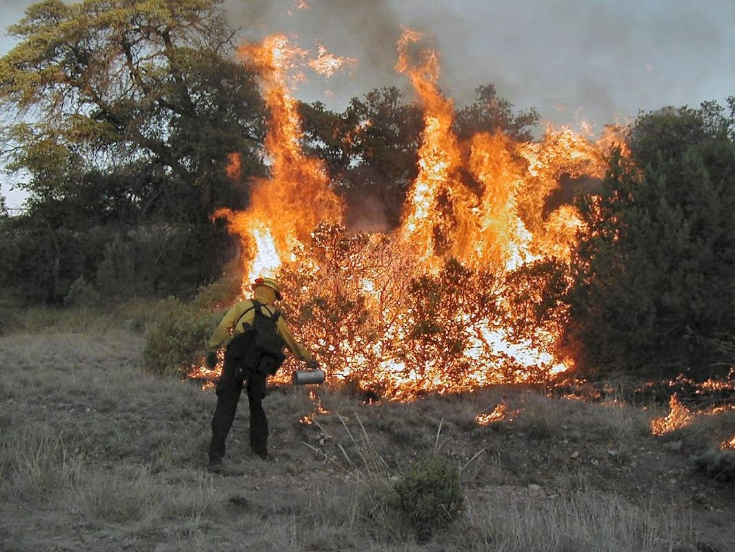
Since its beginning, the Malpai Borderlands Group has worked to encourage all the land management agencies to allow fire to play its natural role in the ecosystem whenever circumstances allow….
Thomas Tank Burn
The prescribed fire known as the Thomas Tank Burn was ignited on June 18 and burning continued through June 20. As if on cue, rain fell on the burn site on June 21st. In all, 2,500 acres burned within a 4,300 acre perimeter….
Cottonwood Burn
The Cottonwood Burn in the Peloncillo Mountains had actually been ignited south of the Geronimo Trail Road the previous summer and had impacted around 2000 acres before being shut down when nearby wildfires demanded the resources….
Baker Burn II
This project was five years in the planning process due to the complexities in the development of a Peloncillo Programmatic Burn Plan to cover approximately 25% of MBG planning area. Baker Burn II had to be split off from the programmatic plan so it could be implemented….
Maverick Burn
In the Peloncillo Mountains of southern Arizona and New Mexico, the Maverick Burn began June 23, 1997 at 9:00 AM after being postponed from the summer of 1996. Ignition was completed by the evening of June 25, 1997 at 5:00 PM….
Baker Burn I
This 8,000 acre burn was ignited June 27, 1995. After over a year of waiting for the perfect time, the burn became a reality….


